Courgent Communal Cemetery
- Country France
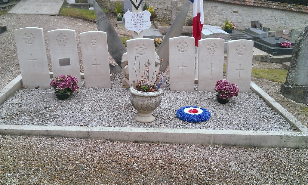
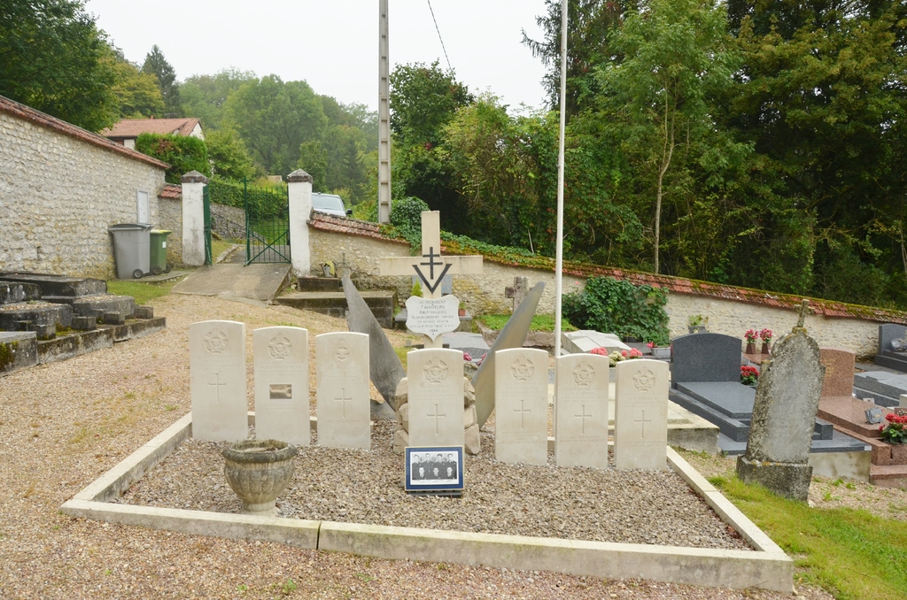
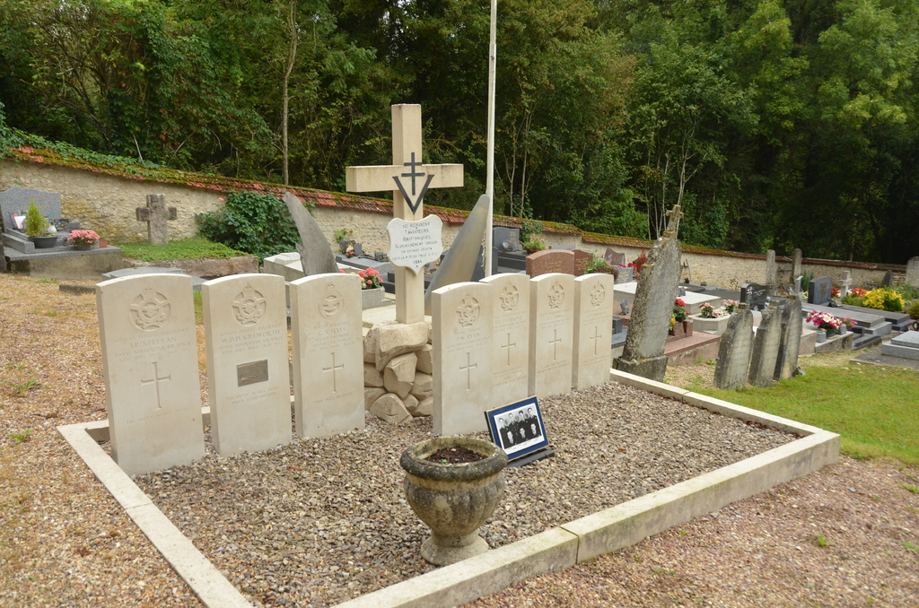
- Total identified casualties 7 Find these casualties
- Region Yvelines
- Identified casualties from Second World War
- GPS Coordinates Latitude: 48.89255, Longitude: 1.66131
Location information
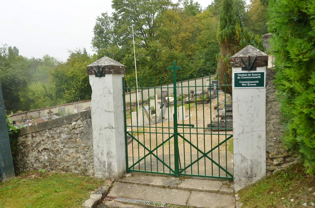
Courgent is a village and commune 40 kilometres north-west of Versailles and 12 kilometres south of Mantes. The village is just west of Septeuil, a village on the Mantes - Houdan road. The cemetery lies on the eastern side of the village on the road leading to Dammartin-en-Serve. The seven Commonwealth war graves are located near the entrance gate of the cemetery.
Visiting information
At the rear of the graves is a memorial erected by the commune, and on the roadside some 100 yards from the cemetery is another memorial erected near the spot where the aircraft crashed.