Adinkerke Churchyard Extension
- Country Belgium
- Total identified casualties 67 Find these casualties
- Region West-Vlaanderen
- Identified casualties from First World War
- GPS Coordinates Latitude: 51.07561, Longitude: 2.60161
Location information
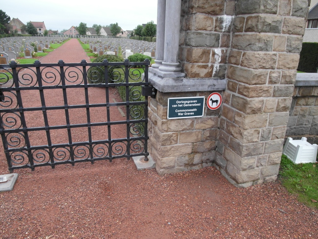
The village of Adinkerke is located west of the town of Veurne on the N39. From the roundabout at the junction of the N39 and N34 follow the N34 in the direction of De Panne along Stationstraat. Follow Stationstraat past the church and turn first left into Helderweg. The Cemetery is at the end of this road behind the church.
History information
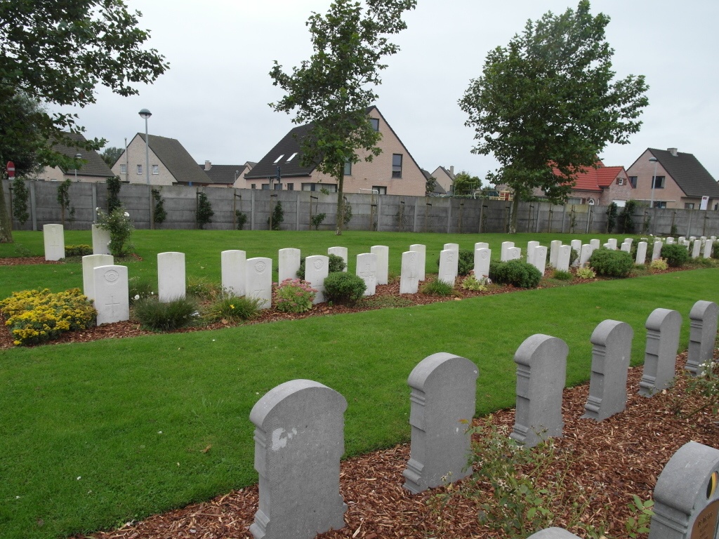
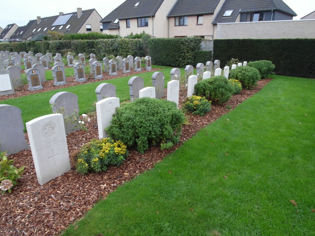
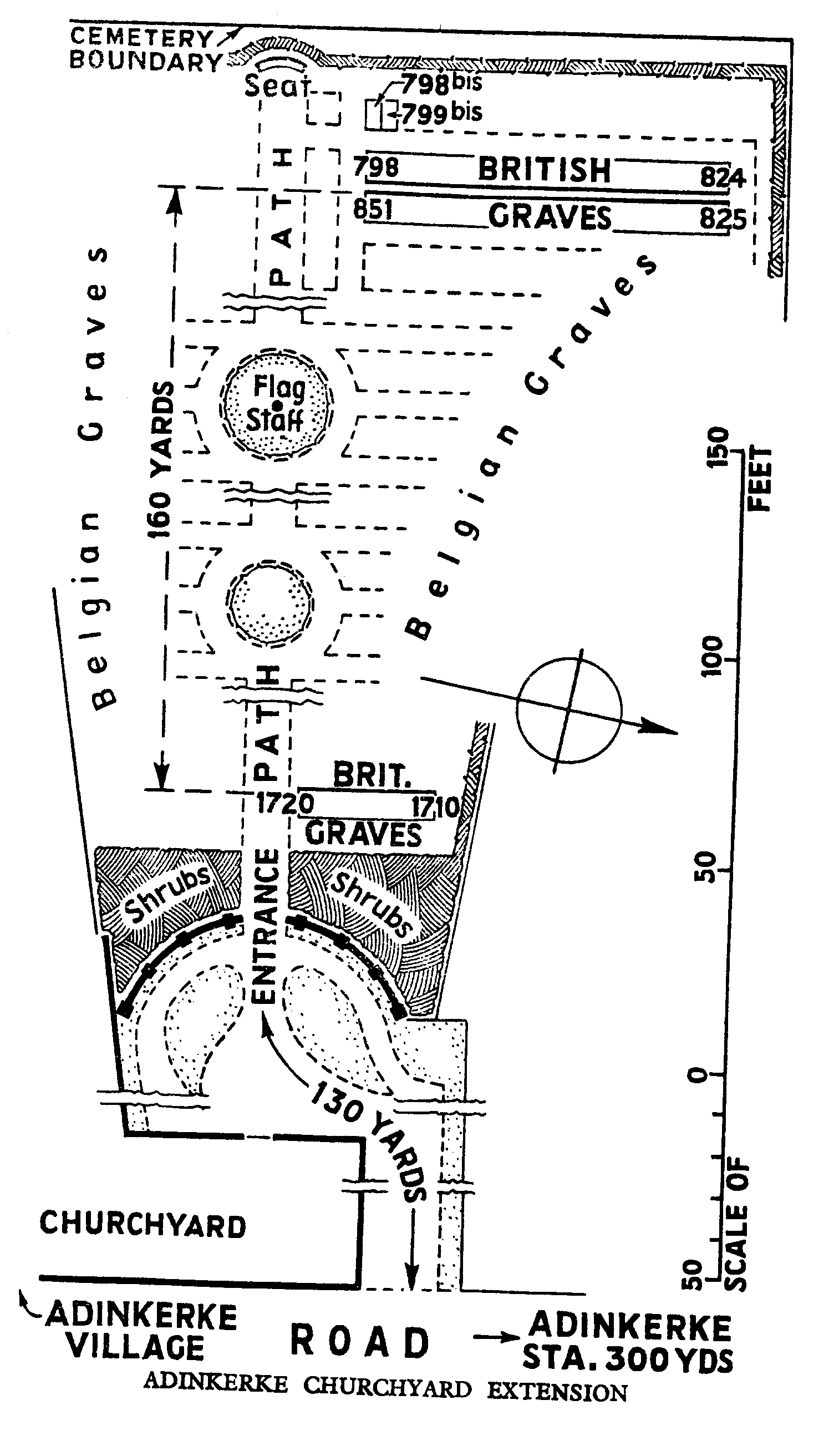
From June to November 1917, XV Corps held the front from the Belgian coast to St. Georges. The 24th and 39th Casualty Clearing Stations were posted at Oosthoek (between Adinkerke and Furnes) from July to November, and the 1st Canadian Casualty Clearing Station was at Adinkerke for a short time in June. Adinkerke Churchyard Extension is a Belgian Military Cemetery on the west side of the Churchyard. The Commonwealth graves are in two small plots and are numbered consecutively with the other graves. The extension contains 67 Commonwealth burials of the First World War.