Moorslede Communal Cemetery
- Country Belgium
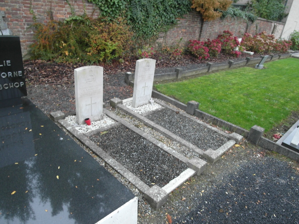
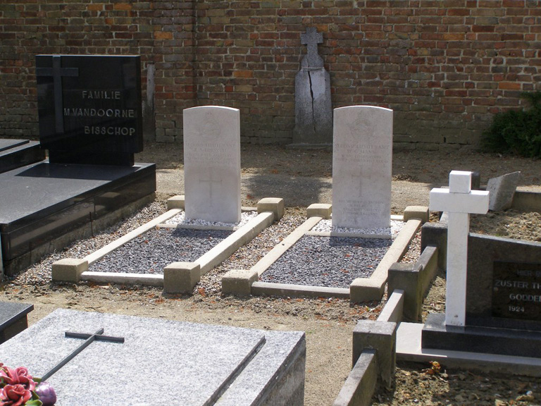
- Total identified casualties 2 Find these casualties
- Region West-Vlaanderen
- Identified casualties from First World War
- GPS Coordinates Latitude: 50.89282, Longitude: 3.06747
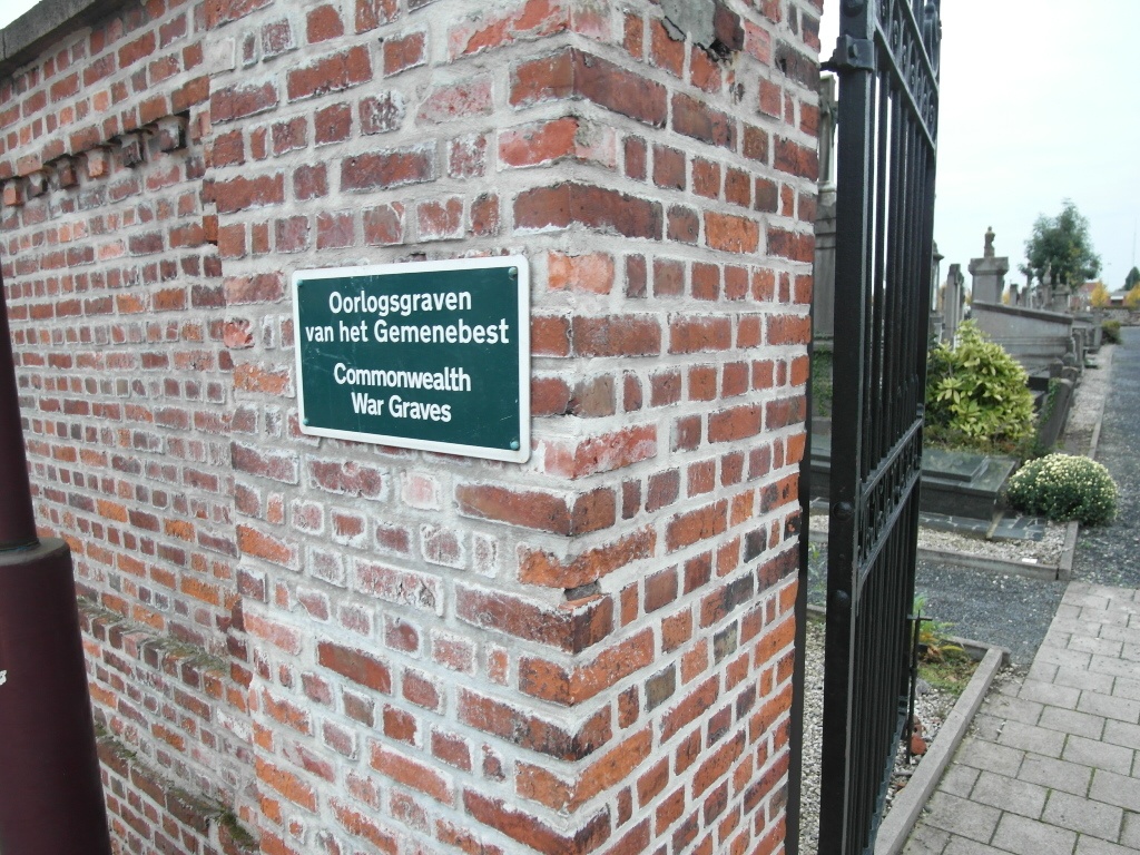
Location information
The village of Moorslede is located north east of the town of Ieper off the N313 which runs between Ieper and Roeselare. Driving from Ieper follow the N313 through Langemark-Poelkapelle to Westrozebeke. In Westrozebeke you come to the junction with the N303 to Passendale. Turn right here and follow this road to Passendale and into the town centre. From the centre take Statiestraat, a turning on the left to Moorslede. You come into Moorslede on Stationstraat and come to a crossroads, go straight on into Roeselaresestraat. At the end of this street bear right into Nieuwstraat, at the crossroads turn right into Pater Lievensstraat and the cemetery is on your left immediately after the junction. The graves are located on the right hand side in the center. From the entrance walk up the centre path to the first roundabout and take the path to the right. Walk to the end of the path an turn right again down the small path where the two graves grave's will be found are on the left.
History information
Moorslede was in German hands for much of the First World War until taken by Belgian troops on 29 September 1918. The communal cemetery contains the graves of two Commonwealth airmen of the First World War, killed in air combat in November 1917.