Rotenburg (Fulda) Civil Cemetery
- Country Germany
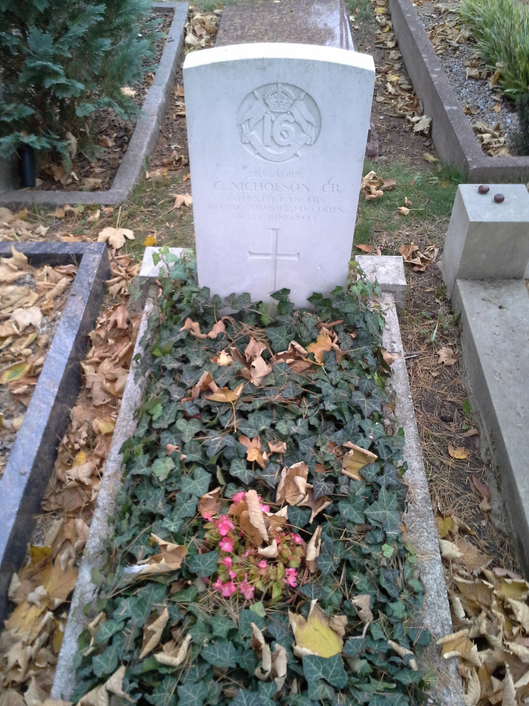
- Total identified casualties 1 Find these casualties
- Region Hessen
- Identified casualties from Second World War
- GPS Coordinates Latitude: 50.9995, Longitude: 9.73504
Location information
Rotenburg an der Fulda is a town in Central Germany approx 55km South East of Kassel. From the A4 Bad Hersfeld to Dresden motorway take exit 34 (Ausfahrt 34) WILDECK / HÖNEBACH and follow L3251 direction BEBRA for approx 10kms road then changes to B27. Continue for approx 2.5kms then follow B83 direction KASSEL / ROTENBURG an der FULDA, continue for approx 5km then turn right onto AM FRIEDHOF. The entrance to the civilian cemetery can be found after approx 150m on the right. The war grave is located to the right of the church. The cemetery address is: Am Friedhof 36199 Rotenburg an der Fulda Germany GPS Location is: N 50 59 58, E 09 44 06
History information
This civil cemetery contains one privately maintaned Commonwealth grave of the Second World War.