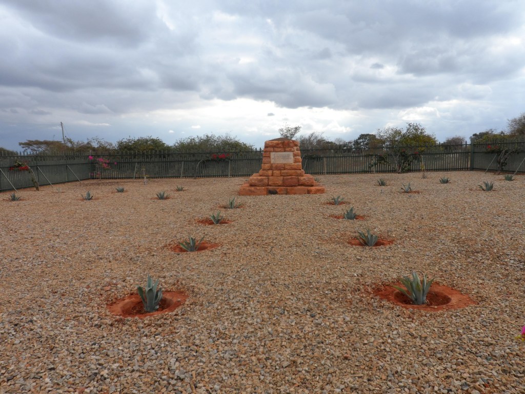
Maktau Indian Cemetery
- Country Kenya
- Total identified casualties 15 Find these casualties
- Identified casualties from First World War
- GPS Coordinates Latitude: -3.40788, Longitude: 38.12987
Historical Note
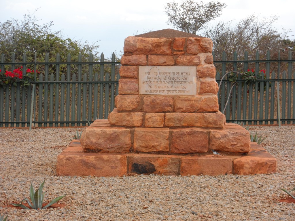
 At the time of construction, the casualties at this site were commemorated collectively on a memorial within the cemetery without their names. The individual graves were not marked, although the names of casualties known to be commemorated here were included in a cemetery register. In 2000, the names of all identified casualties within the cemetery were added to the memorial.
You can find more information about historical inequalities in commemoration in our Special Committee’s report.
Location information
This is near the South side of the Voi-Moshi railway line, a little West of Maktau siding.
Visiting information
As the cemetery has no permanent staff, it is kept locked with a coded padlock. If you are intending to visit this site, the code to the padlock can be obtained from our office in Kenya on 00 254 20260 4301. The opening hours of this office are: Mon - Fri: 08:30 - 12:30, 13:30 - 16:30 (Closed weekends) Wheelchair access to this cemetery is possible via main entrance. For further information regarding wheelchair access, please contact our Enquiries Section on telephone number 01628 507200.
History information
The cemetery was used from March, 1915, to May, 1916, and it contains 16 graves, including 1 unidentified. At Maktau a small British mounted force was ambushed and destroyed on the 4th September, 1915; and later there were established at Maktau a fortified camp, a reinforcement depot and an Indian clearing hospital.