Ein Harod Cemetery
- Country Israel and Palestine (including Gaza)
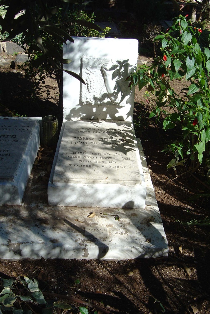
- Total identified casualties 1 Find these casualties
- Identified casualties from Second World War
- GPS Coordinates Latitude: 32.55612, Longitude: 35.38633
Location information
From the Tel Aviv/Haifa highway Route 2, take road number 71 to Afula. At the traffic lights turn left onto road number 7107, signposted Tel Youssef. At the fork in the road keep to the left and continue on this road to a roundabout. Take the left exit and follow this road through the farm. The cemetery will be found at the end of this road, on the left. The Commonwealth war grave is mid-way down the cemetery, on the left hand side.
Visiting information
For further information and enquiries please contact enquiries@cwgc.org
History information
This civil cemetery contains one Commonwealth burial of the Second World War.