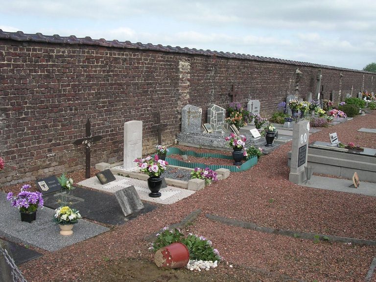
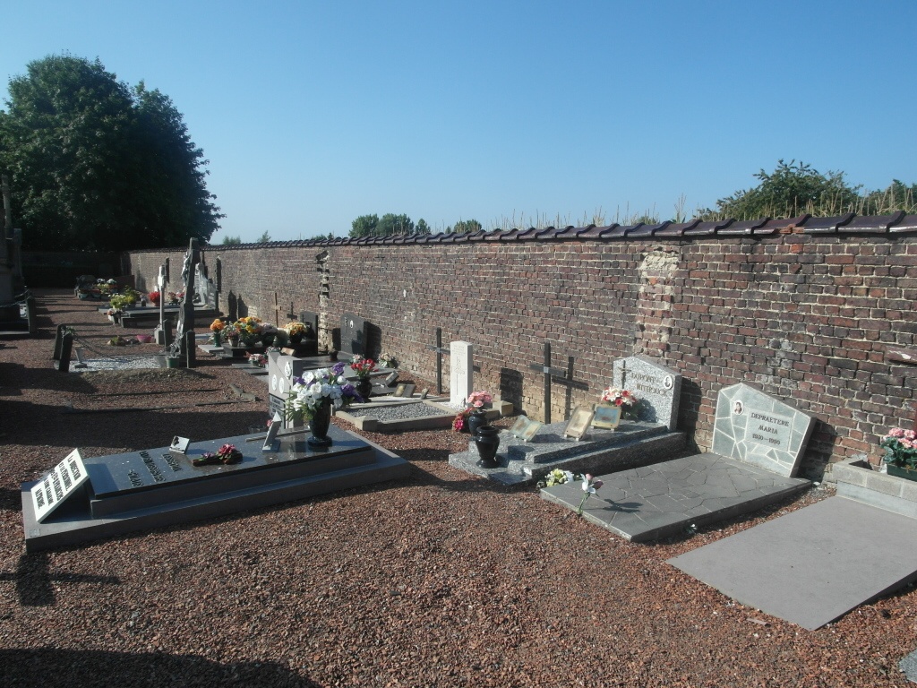
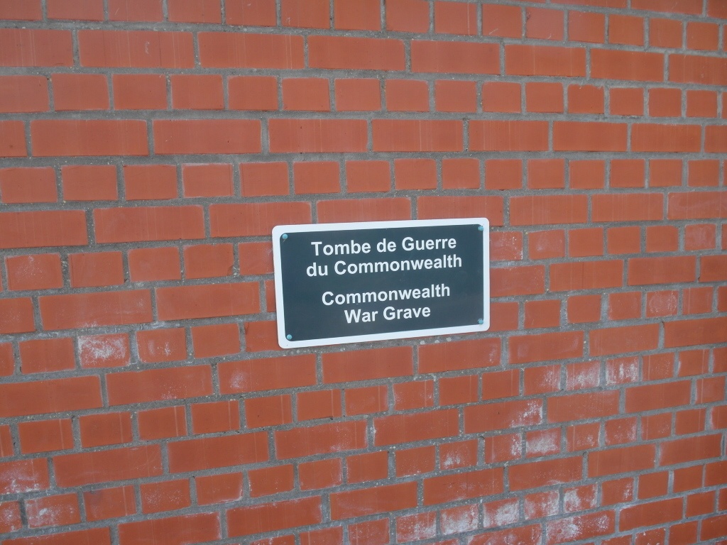
Rebaix Communal Cemetery
- Country Belgium
- Total identified casualties 1 Find these casualties
- Region Hainaut
- Identified casualties from First World War
- GPS Coordinates Latitude: 50.65977, Longitude: 3.77968
Location information
The village of Rebaix is located north of the town of Ath off the N7. From the motorway E42 turn off at junction 32 onto the N7 direction Barry/Ath. Follow the N7 through Gaurain-Ramecroix, Barry, Leuze-En-Hainault and Ligne to Ath. At the fork of the N7 bear right and follow into the town of Ath. At the main square turn left and follow directions to the village of Bouvignies along Route De Flobecq. From Bouvignies follow the directions to Rebaix. On entering Rebaix along Route De Sept Juillet, turn left into Chemin De Raspierre and the cemetery is along on the left. The grave is located to the right of the cemetery by the wall.
History information
Rebaix Communal Cemetery contains one Commonwealth burial of the First World War.