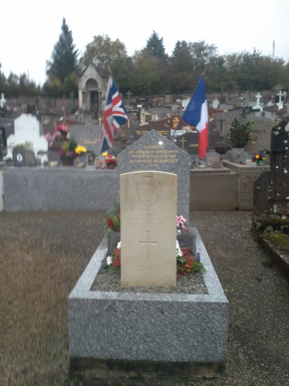
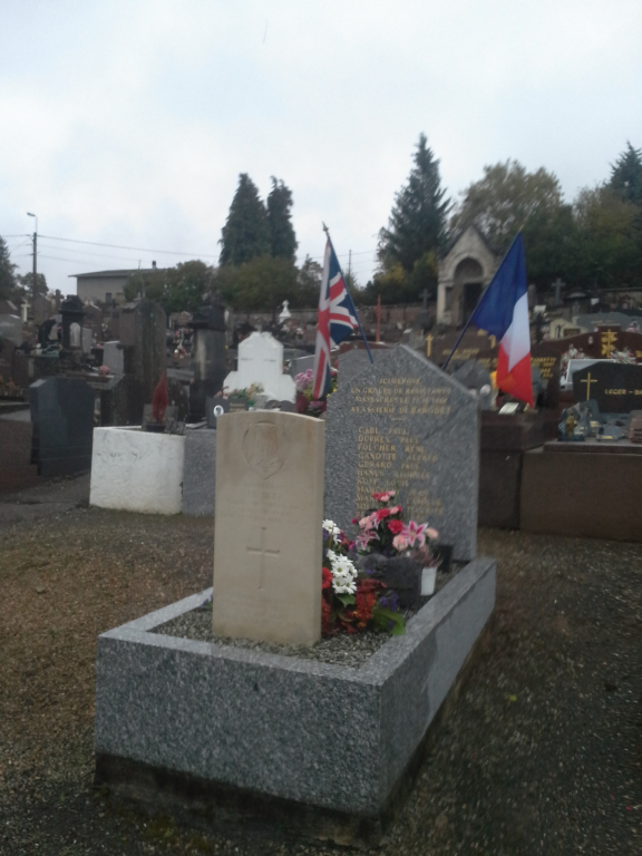
Moyenmoutier Communal Cemetery
- Country France
- Total identified casualties 1 Find these casualties
- Region Vosges
- Identified casualties from Second World War
- GPS Coordinates Latitude: 48.37621, Longitude: 6.91288
Location information
Moyenmoutier is a small town and commune 41 kilometres north-east of Epinal, and some 10 kilometres north-north-west of St Die. The town is situated on the road which runs to the village of St Blaise from the main Luneville to St Die road. The cemetery lies on the south-east side of the town, and contains, south-west of the monument on the central path, the grave of one British soldier.