Cornimont Communal Cemetery
- Country France
- Total identified casualties 3 Find these casualties
- Region Vosges
- Identified casualties from Second World War
- GPS Coordinates Latitude: 47.96183, Longitude: 6.83663


Location information
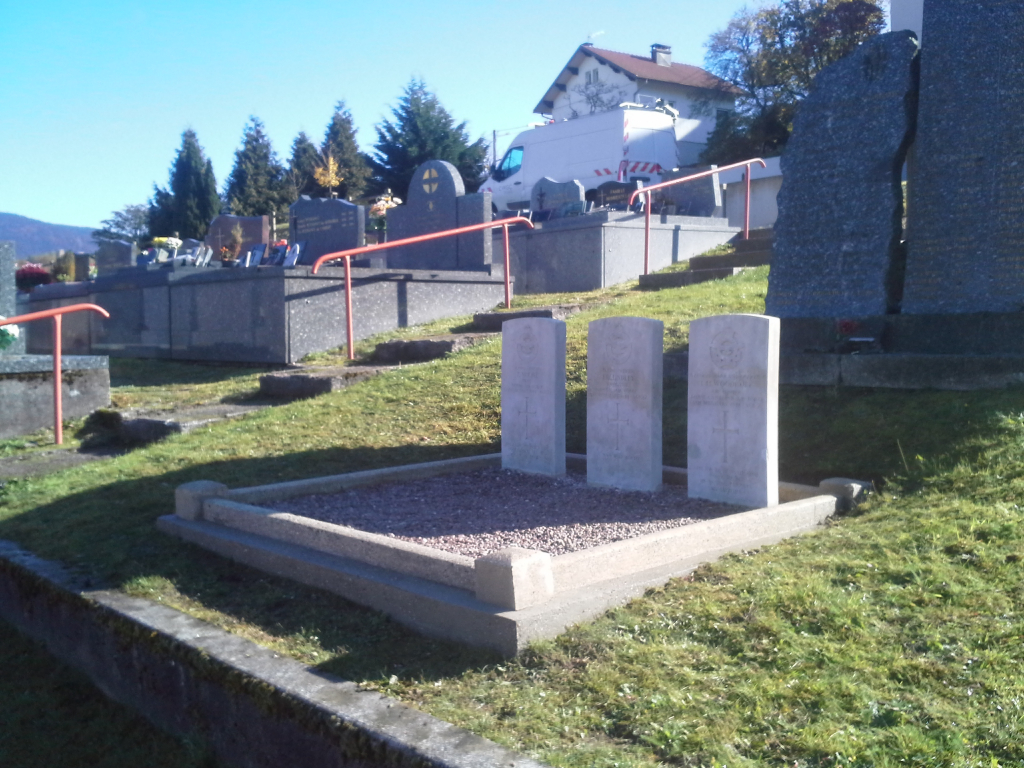
Cornimont is a village and commune 24 miles (38 kilometres) south-east of Epinal, and 12 miles (19 kilometres) south-east of the small town of Remiremont. The village is on the main road to Gerardmer, and is the terminus of the branch line which connects with the main Paris-Nancy-Epinal railway line. The cemetery lies on the southern side of the village, near the church on the road to Le Thillot. The graves of two British and one Canadian airmen are in front of the French monument.